

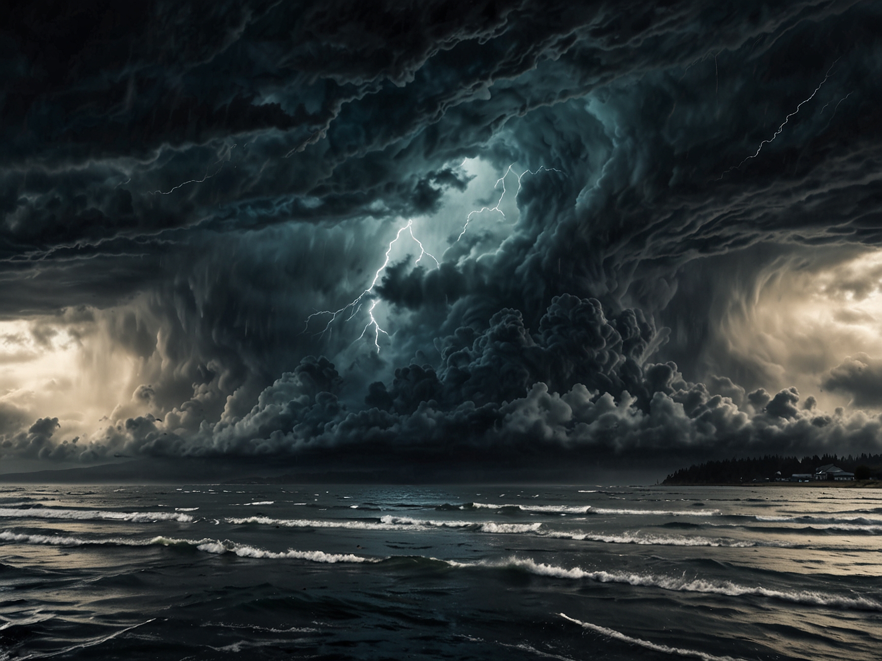
What is a bomb cyclone?
Like a powerful secret, bomb cyclones have a mysterious allure. Just this week, one of the strongest in decades struck the U.S. West Coast. Northern California, Washington, and Oregon felt its wrath. Winds roared like an angry lion, and rain poured fiercely, creating landscapes of chaos. Yet, many questioned, “What exactly is a bomb cyclone?”
Jill Trepanier, a hurricane researcher, explains in simple terms. A bomb cyclone is a mid-latitude cyclone that has undergone bombogenesis. This is a fancy way of saying it intensified quickly. When it strengthens rapidly within a day, you have a bomb cyclone. Confusing? It’s similar to a rapidly intensifying hurricane, but not quite the same. The science can get complicated, but it’s vital to understand.
As Trepanier received a flurry of messages from concerned friends, she became the go-to source on this subject. “Please tell me what a bomb cyclone is,” they urged. The conversation sparked curiosity. People were intrigued but anxious about this tempest. Who wouldn’t be? The storm’s sheer size and potential for destruction could leave anyone feeling uneasy.
How does it differ from hurricanes?
While bomb cyclones and hurricanes might seem interchangeable at first glance, significant differences exist. Both have swirling winds, yet their genesis diverges. Bomb cyclones evolve from a clash of cold and warm air, especially over warm ocean waters. They embrace the cooler air, fueling their intensity. On the other hand, hurricanes thrive in warm ocean currents, drawing energy from heat.
“Cold air in a tropical system is a killer,” Trepanier notes. It’s a stark reminder of the unique relationship between temperature and cyclone development. Cold and warm air create tension, yet that interaction doesn’t weaken a bomb cyclone like it does a hurricane. Instead, it can lead to higher atmospheric pressure. Higher pressure often means less intense winds, striking a peculiar balance.
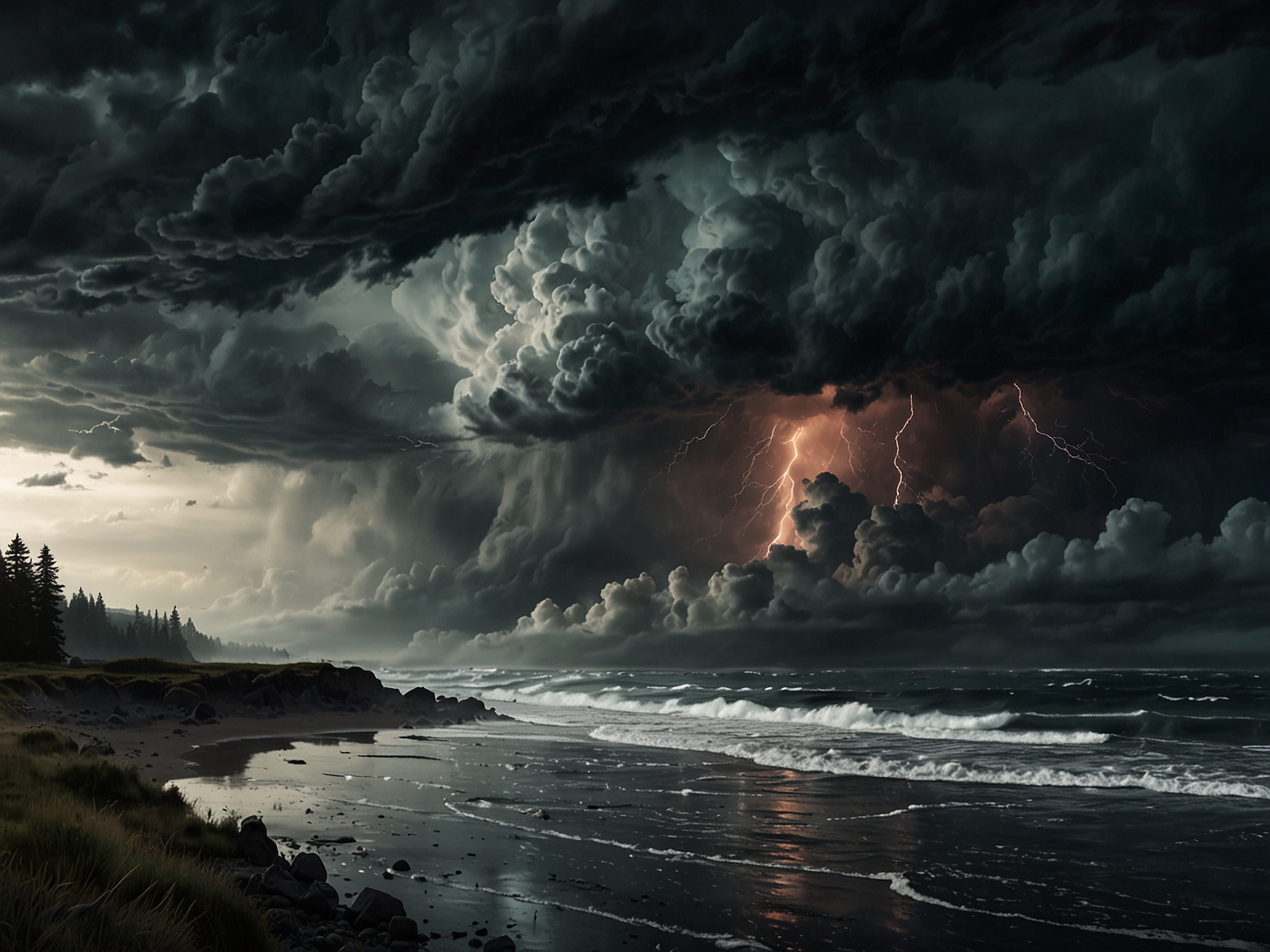
But let’s consider the size. Bomb cyclones typically boast a more extensive span than hurricanes. You might think that’s an advantage. Unfortunately, this larger size often masks their intensity. Weaker winds can lull us into a false sense of security. Just because the cyclone is larger doesn’t mean it’s less dangerous, just different. Is it soothing or alarming to think that size and intensity may not correlate?
The urgency of understanding
During this latest storm, rapid pressure drops sent experts scrambling for data. The cyclone’s pressure plummeted 27 millibars in just six hours, a record-breaking phenomenon. It’s essential to grasp why this matters. Atmospheric pressure is vital to predicting storm behavior. When pressure drops, winds accelerate, wreaking havoc as they escalate.
The NOAA’s exploration of bombogenesis reveals fascinating criteria. At 60 degrees latitude, even slight drops signify significant changes. The latitude of New York City offers different standards. So, bomb cyclones differ worldwide—not just in how they form, but in how they are analyzed, understood, and anticipated.

For those in storm-prone areas, the implications are profound. Understanding these systems can not only save property but lives. We must remain vigilant. Experts like Trepanier provide crucial insights, but it’s essential to synthesize this knowledge. Next time a storm brews on the horizon, how will you assess its potential?
Weather readiness: what can we do?
Living in areas frequently impacted by severe weather presents challenges. We need a game plan. How can you prepare effectively? Knowledge is power, and understanding weather patterns can be lifesaving. Keep a close eye on the updates from legitimate weather services.
What’s your current emergency plan? Consider organizing supplies, checking on neighbors, or packing a go-bag. Creating an emergency kit might not sound thrilling, but think of the peace of mind it can provide. Personal plans rooted in community readiness can make a difference in dire situations. Preparation fosters resilience and can ensure safety when storms converge. Each small step signifies preparedness.
Ultimately, when a bomb cyclone sweeps through, it’s more about maintaining awareness than panic. It’s essential to stay informed and be proactive. Storms may be unpredictable, but our response can be calculated.
How will you prepare for the next bomb cyclone? It’s a question worth considering, isn’t it?


